Blue Track - Urban Renewal and Waterproofing

A Glance up Søndergade and across Møllesøen to Bachmann’s Watermill
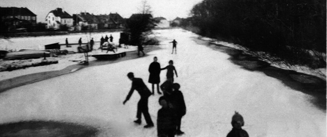
Here at Sønderport there is a beautiful view towards the town square along the fireroad Søndergade and a view across Møllesøen with pilewall and a fountain to Bachmann’s watermill.

Søndergade bisects the city south-north via the town square and Richtsensgade, while Vestergade-Storegade-Østergade bisects the city west-east. Kongevejen encloses the preserved city center with its narrow streets and well-kept gable houses. Søndergade emerged as fire proofing after 1581 when a fire devastated Storegade and left most of it in ashes. After this, a narrow alley, called Jannikstræde, was expanded and named Søndergade (originally Suderstredt). Sønderport was situated at the end of Søndergade and is first mentioned in 1607.

Møllesøen
The Vidå runs closely by the southeastern part of Tønder city. In 1587-1598 the Vidå got its current course. The Sønder-Borger dike was created and the water was dammed into Møllesøen. Get to know more about Møllesøen and the houting project by taking a look at the poster by the underpass to Vidåen/Bachmann’s watermill.


